
CartograFun: See Through the Eye of History
Before maps became the tiny squares on your cellphones that can take you thousands of miles away with a few taps, they had a long history of shaping – and being shaped by – culture, politics, and economics.
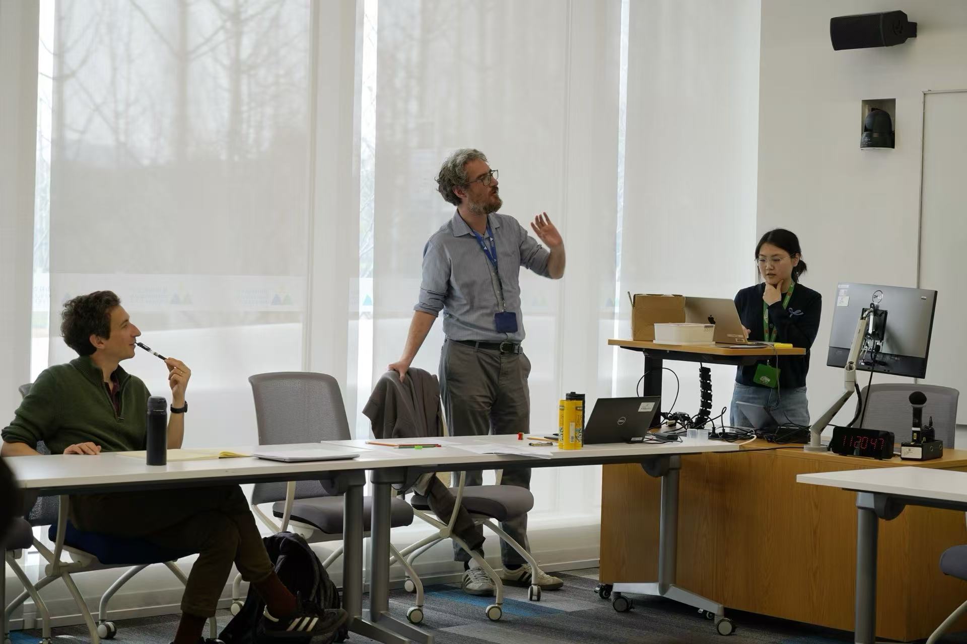
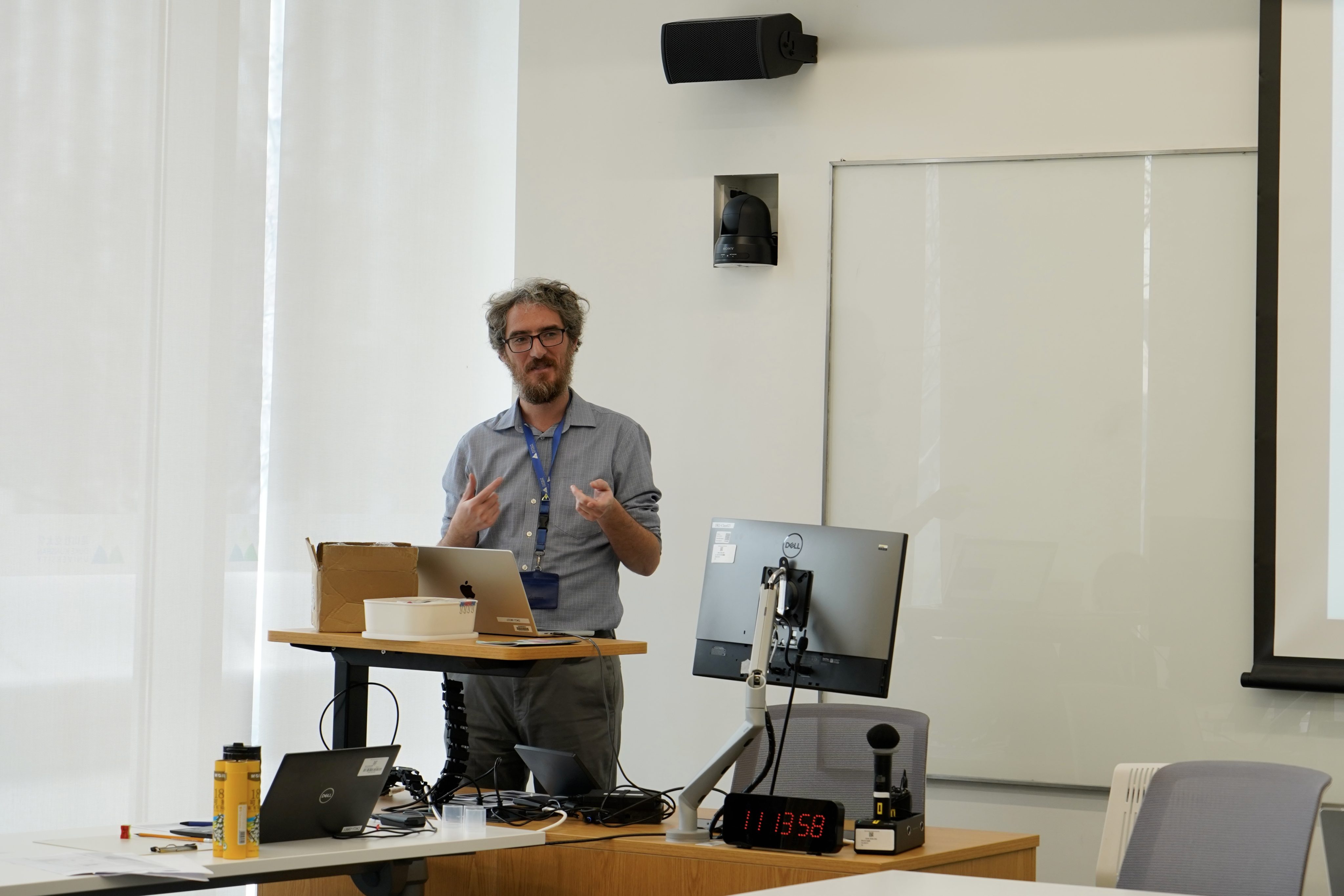
In the mini-term class CartograFun: Exploring Maps, Data, and Archives, co-taught by Joseph Giacomelli, Assistant Professor of History, Ryder Kouba, Archives and Special Collections Librarian, and Siti Lei, Data and Visualization Librarian, students examined maps from different parts of the world, explored old maps of Kunshan from centuries ago, and learned digital mapmaking skills to apply to digital humanities projects. The course marked the first time librarians served as co‑instructors in a DKU mini‑term class.
“Without archives, history doesn’t exist,” said Prof. Giacomelli. “Going into the archives, maps are some of the most amazing historical sources. They show us how people in a particular place and time envision the world around them. It’s a reflection of their views, their perceptions of their society, their culture, and the politics and economics of their time.”
That was how the Library entered the conversation. Established in 2024, the DKU Archives and Special Collections support teaching and research through long-term preservation and access to historically significant materials of both university history, Kunshan history, and relevant scholarly topics. In addition to maps and atlases, current collections also include books, manuscripts, and brochures covering local history, economy, culture, and tourism.
“There are a bunch of historical maps in our archives,” said Kouba. “This is a great opportunity to introduce our students to understanding physical maps, the legends, and the coordinates.”
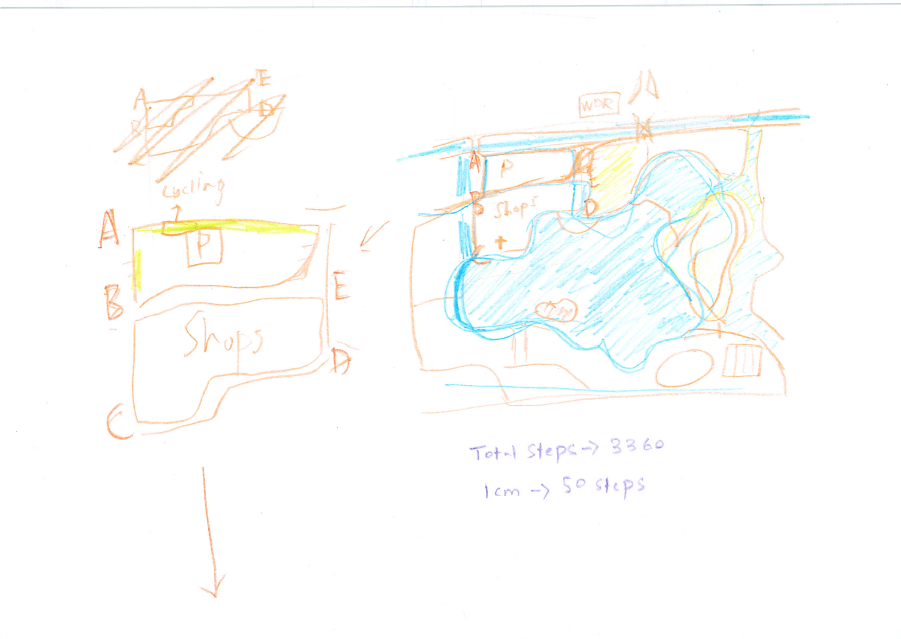
Students were asked to read different theories about maps and learn key terminology and glossaries in map-making and foundations of cartography. They applied the theories to hands-on techniques through the hand-drawn mapping exercises where students drew maps of the DKU Campus and Dayu Bay, a shopping area near the university.
But map-making is more than simply hand-drawing. Modern maps include digital maps that employ geographic information system (GIS) tools and visual design strategies to present geospatial data and create powerful map narratives. DKU students are entitled to use licensed GIS tools such as ArcGIS or open-sourced tools such as QGIS to visualize and analyze geospatial data.
Lei is the in-house expert in the DKU Library for digital maps. She joined the university in 2025 and brought experience working in the map and data library at the University of Toronto. In addition to delivering university-wide workshops on GIS tools and data visualization tools, Lei regularly joined classes and delivered embedded instructional sessions tailored for every instructor’s needs.

“When we usually deliver workshops, we barely have any ideas on how students use the materials and skills taught in the workshops,” said Lei. “But this time, we are happy to see that they are actually applying the materials and techniques in our class.”
For this non-graded course, students were required to work in groups to submit a small digital humanities project as their class projects. Themes were not assigned; students could pick any topics they were interested in and use their inventive minds to work on the maps of fun. Topics for the final projects submitted ranged from a virtual tour of the filming sites for the popular TV show Game of Thrones, to a spatial analysis of football stadiums in London.

“All three of us love maps, and we think they’re fun, so we’re just trying to convey that sense of fun to the students,” said Prof. Giacomelli.
Original source comes from: DKU Librarians Enrich Mini-Term Through Teaching and Creative Engagement – Library | Duke Kunshan University